

Winter of 1811-1812
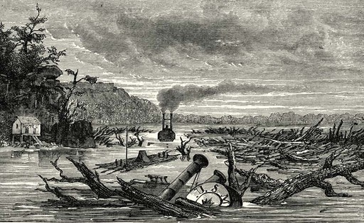
In the winter of 1811-1812 the entire central Mississippi valley was riven by three massive earthquakes and their attendant aftershocks. These shocks were the strongest seismological events ever recorded in North America causing waterfalls to form on the Mississippi, the river to reverse flow, a lake to be formed in western Tennessee, and geysers of sand to be belched dozens of meters high into the sky from subterranean compressed liquified soil.

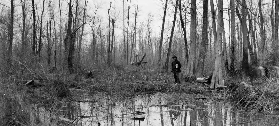
The months of December-February, 1811-1812 transformed what was once fertile farmland and thriving hunting grounds for native Americans and white settlers into an almost impenetrable morass of dense thicket and swamp.
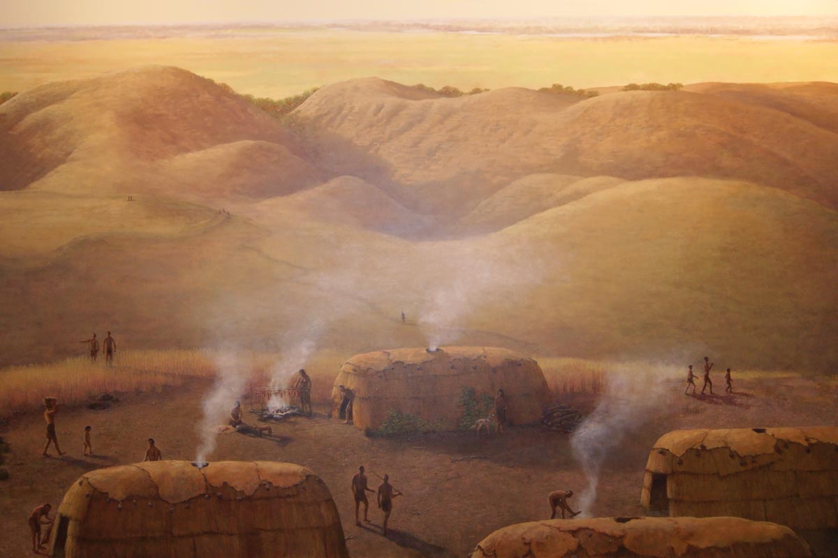
The beginning 19th century saw a tense relationship existing between the increasing number of settlers from the east and the native American tribes inhabiting the area: Creek, Osage, Shawnee and Cherokee. But what this expansion of white settlers onto native American land didn’t accomplish, the earthquakes did. With the topography now unfavorable for hunting, fishing and agrarian activities, the tribes pushed westward.
25 years after the earthquakes, with the deformations of the land clearly apparent, Edwin James Langdon moved from Vermont to frontier Missouri, settling near a town now known as Hornersville. According to an 1888 published history of the area, Edwin James “succeeded well in all his enterprises.” Among them were a general store, cotton gin and farmland.
The soil that covered the region was considered to be a ‘super soil’ resulting from the deposition of sediments through the natural flood cycles of the Mississippi River over thousands of years. However, the large-scale transformation of this huge swamp to agricultural use would require a massive effort.
Accordingly, the US Congress passed the Swamp Land Act of 1850 which provided a mechanism for reverting title of federally owned swamp land to states which would then agree to drain the land and turn it into productive, presumably agricultural, use.[i]
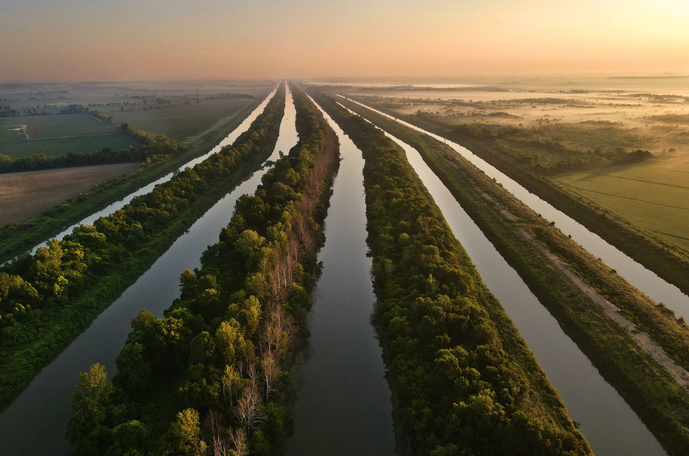
In 1905 a bill was signed into law that created The Little River Drainage District. The plan was as straightforward as it was complex: drain the bootheel. It would be financed by the issuance of bonds and landowners who agreed to pay taxes on their holdings.
[i] History. (n.d.). https://www.thelrdd.org/history/


By 1928, after 16 years of long and tedious work and at a cost of more than $11 million dollars, the district had built nearly 1,000 miles of ditches and more than 300 miles of levees and had drained 1.2 million acres of swamp land in a project that at the time was the largest in the history of the world. When the drainage work was completed, more than 1 million cubic yards of earth had been moved, more than was displaced during the construction of the Panama Canal.[i]
[i] LITTLE RIVER DRAINAGE DISTRICT. (n.d.). VisitKennett. https://showmemissouri.net/pages/pages/history_little_river.html


